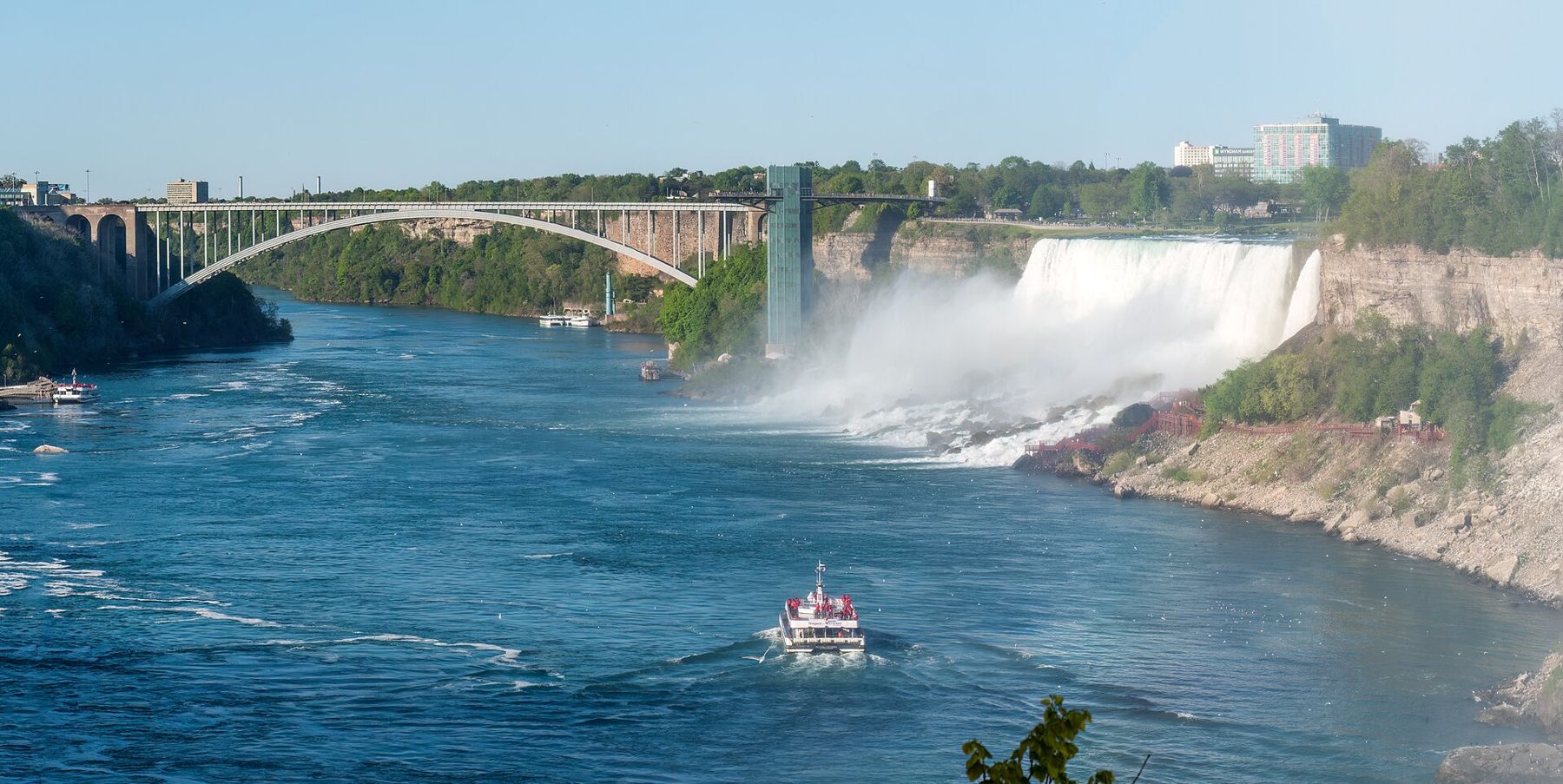
Niagara Falls has two sides and two reputations. The Canadian side has the head-on view of the great curve of the Horseshoe Falls and most of the towers and lights. The American side, in New York, has something else: a state park that puts you on islands in the river between the falls, on walkways at the foot of them and on trails down into the gorge. It is the quieter side and, for anyone who likes to stand close to moving water, the better one.
How the falls work
The Niagara River drains Lake Erie into Lake Ontario, flowing north for about thirty-five miles. Partway along, the river drops over the edge of a hard layer of dolostone, the caprock of the Niagara Escarpment, and falls into the gorge below. Over roughly twelve thousand years the falls have worn their way back upstream about seven miles, leaving the gorge behind them.
There are three falls. The American Falls and the much narrower Bridal Veil Falls, separated by little Luna Island, drop on the American side of Goat Island. The Horseshoe Falls, by far the largest, lie on the other side of Goat Island, and the international border runs through them, with most of the curve in Canada. Not all of the river goes over the edge: by treaty, a large share is diverted upstream to hydroelectric plants, with more allowed at night and outside the summer season, so the falls are fullest on summer days.
The falls can also be switched off, in a manner of speaking. In 1969 engineers built a temporary dam to stop the flow over the American Falls for several months to study the rock face, and photographs of the dry cliff still surprise people.
Niagara Falls State Park and Goat Island
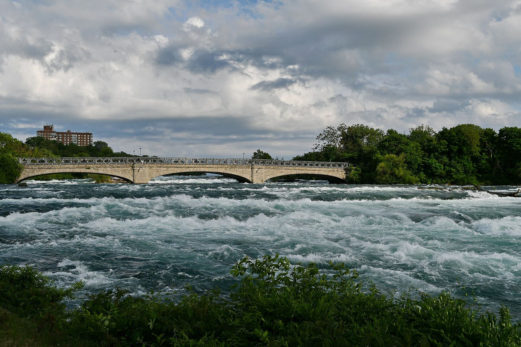
Niagara Falls State Park was established in 1885 as the Niagara Reservation and is the oldest state park in the country. Before then, the riverbank was lined with mills and private enclosures that charged visitors for a look at the falls. A public campaign led to the state buying the land back, and the landscape architects Frederick Law Olmsted and Calvert Vaux drew the plan for a park that would keep the scenery as natural as possible. That idea still shapes it: lawns and woods, paths along the rapids, and few buildings.
Start at Prospect Point, beside the top of the American Falls, where an observation tower leans out over the gorge. Then cross the bridge to Goat Island. A loop path leads to Luna Island, between the American and Bridal Veil Falls; to Terrapin Point, at the edge of the Horseshoe Falls, where the spray rolls up the cliff; and to the Three Sisters Islands, a chain of small islands joined by footbridges, with the upper rapids pouring past on every side. Allow most of a day to walk it all without hurrying.
Parking in the park is paid and fills early in summer; a seasonal trolley loops around the main viewpoints, and fees and operating dates change, so check before you go.
Cave of the Winds and the boat
The cave that gave the Cave of the Winds its name, a hollow behind the Bridal Veil Falls, has long since collapsed. The name now belongs to a set of wooden walkways at the foot of the falls, reached by an elevator down from Goat Island. The walkways are taken down every autumn, because winter ice would destroy them, and rebuilt every spring. The highest deck sits close enough to the Bridal Veil that the water hits you like a storm. Sandals and a poncho are handed out; you will still get wet.
The boat ride leaves from a landing at the foot of the observation tower at Prospect Point. It runs past the base of the American Falls and into the mist at the foot of the Horseshoe, close enough that the roar fills everything and the spray hides the cliffs. Passengers get ponchos. Both the walkways and the boat run in the warmer months only; seasons, prices and timed entry change, so check before you go.
Sandals and a poncho are handed out; you will still get wet.
The gorge
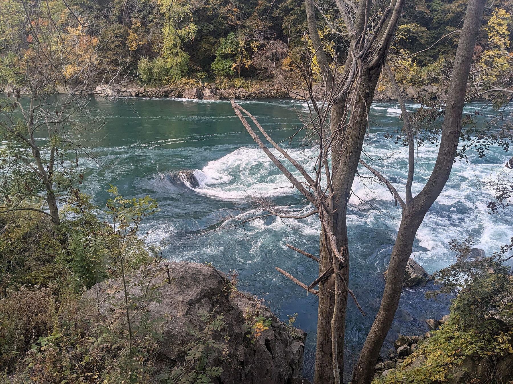
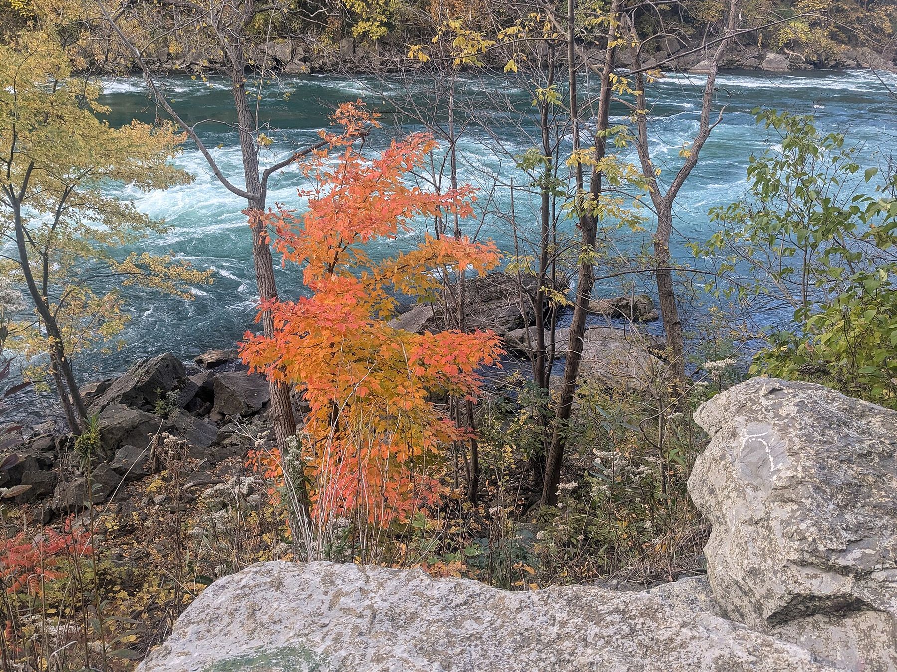
Below the falls, the river runs through the Niagara Gorge, a steep canyon of layered rock walls hung with forest. On the American side, a series of state parks follows the rim north towards Lewiston. Whirlpool State Park looks down on the Niagara Whirlpool, where the river turns sharply and swirls back on itself, and Devil's Hole State Park has stairs and trails down to the river's edge. The rapids at the bottom are among the most powerful in North America.
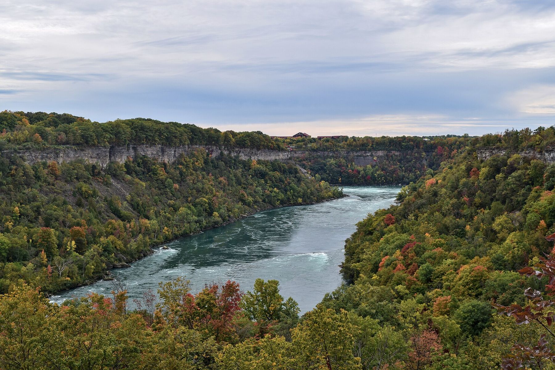
The gorge trails are rough in places, with rock steps and uneven ground, and some are closed after storms or rockfalls. Wear proper shoes, stay on marked paths and keep away from the water: swimming and wading in the gorge are forbidden for good reason. Autumn colour here, usually in October, is outstanding.
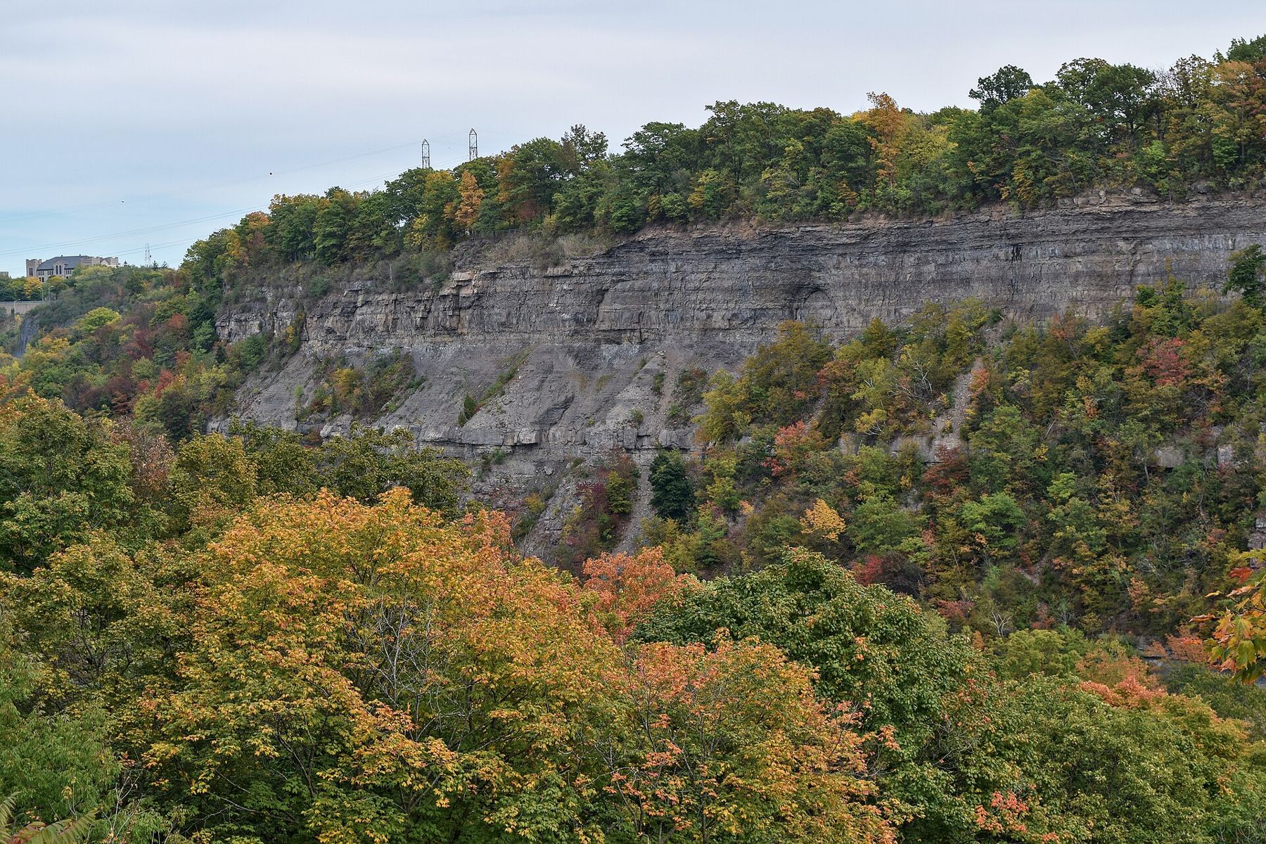
At the north end, Lewiston sits where the river leaves the escarpment, and Old Fort Niagara, at Youngstown, guards the river mouth on Lake Ontario, with buildings from the eighteenth century and views across to Canada.
Up the river from the Tonawandas
If you come from Buffalo, consider leaving the interstate and following the river north instead. The Erie Canal, opened in 1825, reaches the Niagara at the Tonawandas, the twin towns that grew up where the canal meets the river and once handled great quantities of lumber. Canal-side paths and old commercial streets survive on both banks. From there, roads along the shore follow the upper Niagara past Grand Island to the falls, with the river wide and calm, giving no hint of what lies ahead.
Inland, the city of Lockport is worth a detour to see the canal climb the Niagara Escarpment through a flight of locks, with the old stone locks beside the modern ones. Canal boats and the towpath trail run in season.
Crossing the border and when to go
The Rainbow Bridge links the American city with Niagara Falls, Ontario, and you can walk or drive across for the Canadian view of the Horseshoe Falls. You will need a passport or another accepted document to cross and to return; rules change, so check before you go. Queues for cars can be long on summer weekends.
- June to early October is the main season, when everything is running.
- September and early October bring thinner crowds and the first autumn colour.
- Winter is cold and quiet, with ice building on the rocks and the spray freezing on trees; the walkways and boat are closed, and some paths may be icy.
A weekend is enough for the park, the gorge and an afternoon up the canal. If the border appeals, our guide to Calgary covers a very different corner of Canada, and our list for packing for a road trip covers documents for crossing.