Aspen sits at the head of the Roaring Fork Valley in the mountains of western Colorado, at nearly eight thousand feet above sea level. It has two lives a year. In winter it is one of the best-known ski towns in North America, with four ski mountains within a short drive. In summer the snow pulls back from the high country, the wildflowers come up, and the roads to the Maroon Bells and over Independence Pass open. Both seasons are worth the trip, and the town's history explains a good deal of what you see in either.
A silver town that went quiet
This valley was Ute country long before prospectors crossed the Continental Divide in 1879 looking for silver. They found it in quantity, and within a decade the camp had become a town with a railway, electric lights, brick commercial blocks and an opera house. The Wheeler Opera House, opened in 1889, still stands at the corner of Mill and Hyman and is still used for performances and films.
The boom ended abruptly in 1893, when the federal government stopped buying silver in large amounts and the price collapsed. Mines closed, people left, and by the 1930s Aspen had fewer than a thousand residents and a reputation as a fading place where houses could be bought for back taxes. Its Victorian buildings survived largely because nobody had the money to replace them.
Recovery came after the Second World War. Veterans of the army's mountain troops, who had trained in Colorado, returned to ski, and the first chairlift on Aspen Mountain opened in 1946. At about the same time, the Chicago industrialist Walter Paepcke and his wife Elizabeth set out to make the town a centre for ideas and music as well as sport. The summer music festival and the institute for discussion that grew from their efforts are still part of Aspen's calendar.
Walk the downtown grid and you can read both lives: brick and stone blocks from the silver years, small miners' cottages, and a ski town's shops and galleries in the old ground floors. The mountain rises straight from the south end of the streets, which is a strange and pleasing thing to see from a pavement.
The Maroon Bells
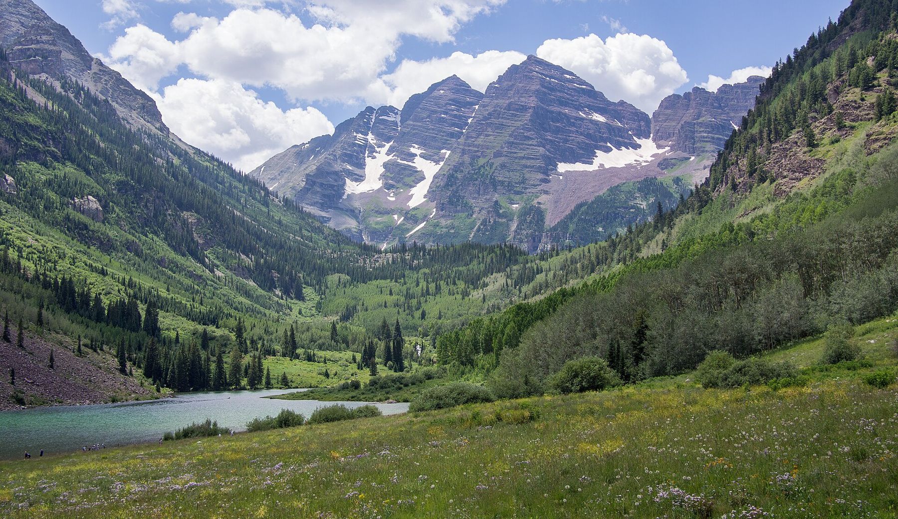
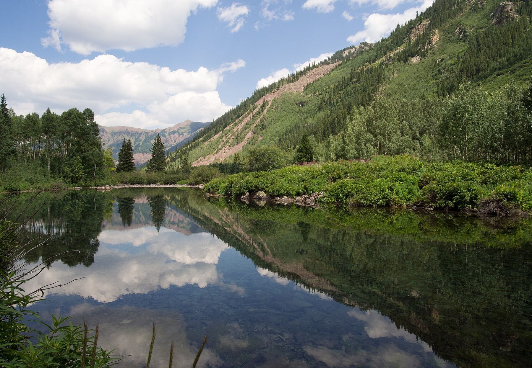
About ten miles southwest of town, at the end of Maroon Creek Road, two peaks of dark red rock rise behind a small lake. Maroon Peak and North Maroon Peak both top fourteen thousand feet, and their striped, reddish faces reflected in Maroon Lake make one of the most photographed mountain views in the country.
Because so many people come, access is managed. During the main summer and autumn season, the road is closed to most private cars during the day, and visitors ride a bus from near Aspen Highlands or reserve one of a limited number of parking places for early and late hours. Reservations are usually required for both, and they can sell out on popular days, especially in the weeks when the aspens turn gold. The details, dates and fees change from year to year, so check before you go. In winter the road is closed to cars well short of the lake and becomes a route for skiers and snowshoers.
From the lake, an easy loop follows the shore, and a steadier trail climbs a little under two miles to Crater Lake, closer under the peaks. Beyond that, the trails head into the Maroon Bells-Snowmass Wilderness and over high passes that call for experience, proper gear and an early start, because afternoon thunderstorms are routine in July and August.
The rock of the Bells is mudstone, which breaks and slides underfoot. The peaks look climbable from the lake and have a long record of serious accidents. Signs at the trailhead say so in plain words, and they mean it.
Independence Pass
East of town, Highway 82 climbs up the Roaring Fork to Independence Pass, at a little over twelve thousand feet on the Continental Divide. It is one of the highest paved passes in the state, and the drive is a memorable one: aspen groves, then dark spruce, then open tundra with snowbanks into July. Near the top, sections of the road are narrow and without guardrails, and long vehicles and trailers are restricted. The pass is closed for the winter, usually from late autumn until late spring; opening and closing dates depend on snow, so check before you go.
A few miles below the summit on the Aspen side, the ruins of Independence, a gold camp from the 1880s, stand in a high meadow: weathered log cabins and foundations, kept as a historic site. At the top, a short paved path leads to viewpoints across the divide. Walk slowly. At that height you will feel every step.
The rock of the Bells is mudstone, which breaks and slides underfoot.
The Roaring Fork and the valley
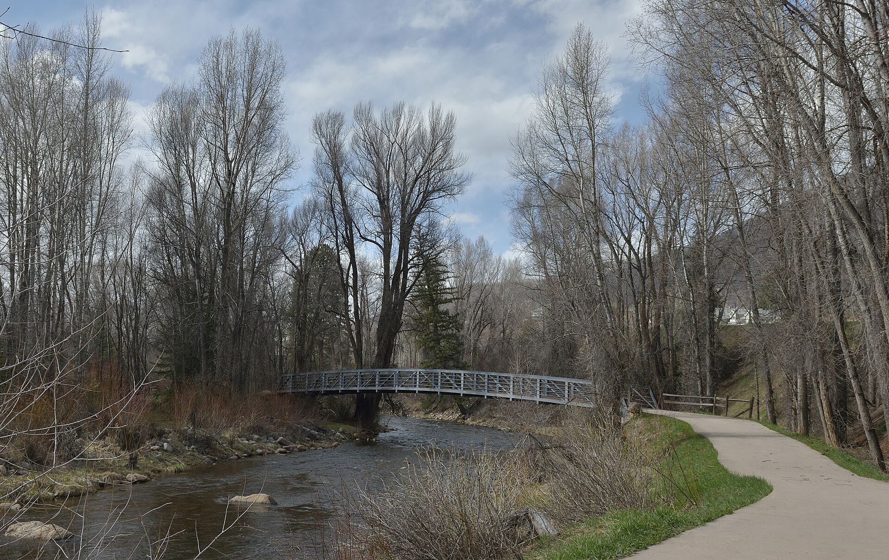
The Roaring Fork River starts high near the pass, runs through the north side of Aspen and continues down the valley to join the Colorado River at Glenwood Springs. In town, paths follow its banks through cottonwoods, past a sanctuary garden of stones carved with song lyrics, and on to the Rio Grande Trail, which follows an old railway grade down the valley for many miles. It is a good route for a bicycle, mostly downhill on the way out; the way back is another matter.
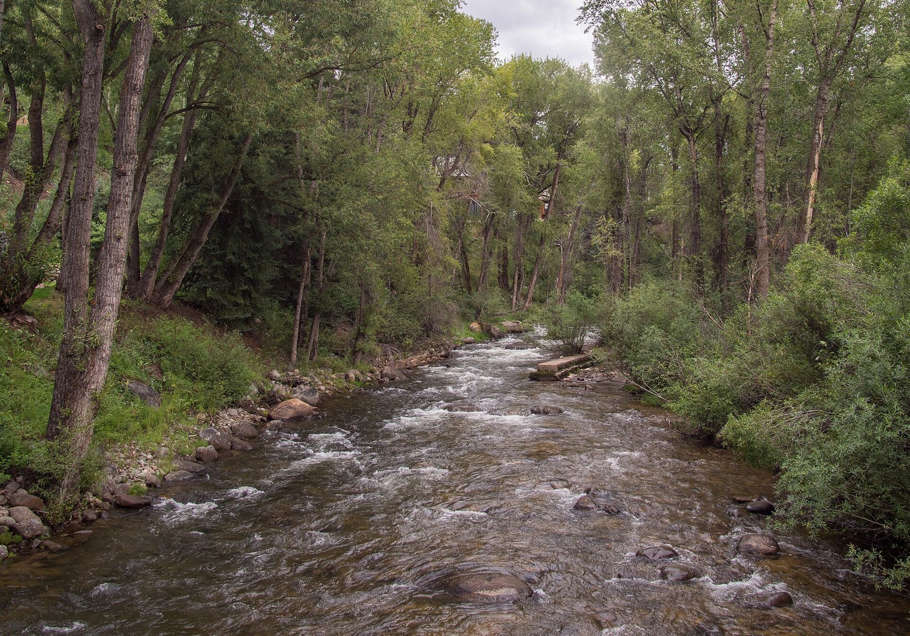
The river is cold, fast and high in early summer with snowmelt, and calmer by late summer, when anglers wade the quieter stretches. Rafting trips run on the lower river in season. Do not swim in it at runoff.
Snow, altitude and planning
Winter brings the four ski mountains: Aspen Mountain above town, Aspen Highlands, Buttermilk, which suits beginners, and Snowmass, the largest, a short drive down the valley. Buses link town and the mountains. The ski season usually runs from late November into April. Prices for lift tickets are high and change each year, so check before you go.
Altitude is the one thing everybody underestimates. At nearly eight thousand feet, and much higher on the passes and trails, many visitors feel short of breath, sleep badly or get headaches for the first day or two. Drink more water than you think you need, go easy on alcohol, take the first day gently, and use strong sunscreen even in winter, because the sun is fierce at this height and the snow reflects it.
- July and August bring wildflowers, warm days and afternoon storms; start hikes early.
- Mid to late September is when the aspen groves turn gold, and the busiest time at the Maroon Bells.
- May and early November are quiet shoulder seasons, with some roads and trails still closed or already closing.
- January to March is the heart of the ski season.
Weather changes fast. Pack layers for every season, as our list for packing for a road trip suggests, and keep a rain shell in the car. From Dallas or other Texas cities it is a long drive north and west, and many people make it in two days. For another mountain trip with a city at the start, see Calgary and the road west to Banff.